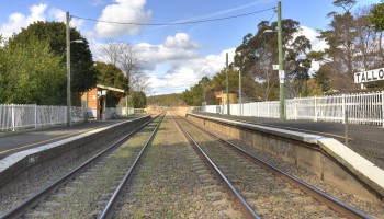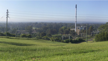
Liverpool

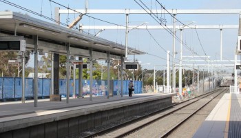
In our look at the possible corridors we could use to access inner Sydney, we identified two possible contenders that could get us to within about 15km of Central Station before we had to go underground. The first was to use the East Hills corridor until Revesby or soon after, and subsequently using a long tunnel (15-17km) to Central. The other main option was to use the Cumberland and Inner West corridors via Liverpool and Cabramatta…

Continue reading

Glenfield

The existing rail corridor between Campbelltown and Glenfield was rejected by the 2013 government study due to having insufficiently large radius for their unrealistically fast 400km/h design speed. However, the corridor actually has fairly good geometry, with only two curves of relatively gentle radius; the one at Leumeah has radius 1000m, while the one between Minto and Ingleburn has radius 1800m. This is sufficient for tilting trains to achieve 200km/h…

Continue reading

Getting into Sydney from the southwest

Access to Sydney’s city centre has always been one of the major challenges of previous high speed rail concepts. The density of existing development, the lack of suitable transport corridors and the formidable terrain mean that there is no easy way to access Central Station on a high-speed alignment. There have …

Continue reading

Campbelltown

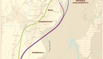
The last sector before we reach metropolitan Sydney presents few design difficulties, or at least no more so than the adjacent Hume Highway. A couple of bridges and moderately deep cuttings are all that is needed to bring the high-speed railway back to the Southwest Rail Corridor, where the prevailing radius is about 1800m.

Continue reading

Upper Nepean

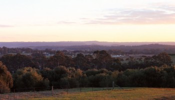
Photo by Alan Farlow (Panoramio)

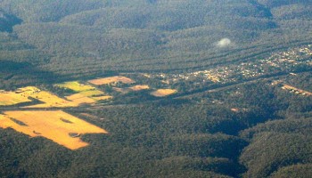
In this 20-kilometre stretch, the line enters a sustained gentle-to-moderate descent from the Southern Highlands down into the Sydney Basin, dropping over 300m in altitude. There aren’t a lot of plausible corridor options here; the Hume Highway already occupies by far the best one, and it is of sufficient straightness and flatness for a high-speed rail alignment.

Continue reading

Yerrinbool

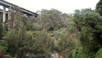
https://en.wikipedia.org/wiki/Yerrinbool,_New_South_Wales

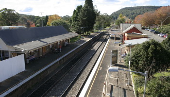
As we get closer to Sydney, the Southern Highlands constricts down to a narrow spit of cleared land nestled between the Blue Mountains on the west and the Upper Nepean gorge on the east, and almost all of the transport infrastructure squeezes into a narrow 500m-wide band between Yerrinbool and Bargo. This limits the room available for deviations but also gives us a choice of several existing corridors to utilise.

Continue reading

Bowral / Mittagong

The geography between Moss Vale and Mittagong presents a significant barrier to infrastructure development, both due to the built up areas of Bowral and Mittagong and also the imposing topography of Mt Gibraltar. For this reason, re-use of the existing corridor is the best and probably only option here.

Continue reading

Moss Vale

Now we are really getting into the heart of the Southern Highlands, with its beautiful rolling pastures, cute hamlets, manicured golf courses, and of course the Shoalhaven Escarpment on the southeastern side. The existing railway between Bundanoon and Moss Vale is pretty windy, so we will need to build a completely new track through moderately difficult terrain.

Continue reading

Wingello to Bundanoon

The existing track between Wingello and Bundanoon winds its way along the northwestern escarpment of the Shoalhaven, making for a dramatic but winding railway. Unfortunately there are only limited opportunities to re-use the existing alignment, so a substantially new alignment will be needed.

Continue reading

Marulan to Wingello

The Marulan sector consists of about half existing alignment and half new alignment around Uringalla. The country is undulating, meaning that significant earthworks and possibly some tunnelling and structures may be required.

Continue reading